
Looking Up Your Bridgeport Neighbors
A search for Bridgeport neighbors is a block research task. Put one address at the center, identify its parcel, then compare the polygons and source roles around it. The map can show which lots touch. Vision can show the record owner and mailing address for each lot. A recorded deed can confirm a transfer. The individual voter lookup can answer a named registration question. NRZ plans and community pages can show a neighborhood organization without publishing its membership.
| Source | What it shows about a block | Access |
|---|---|---|
| GIS parcel polygons | Touching lots, street-facing parcels, parcel IDs, zones, districts | Public map and REST query |
| Vision assessor | Owner, mailing address, situs, value, PID, MBLU per parcel | Public address, owner, or parcel search |
| Town Clerk I2 | Recorded ownership and instrument sequence tied to parcel or legal description | Free index; images and copies have fees |
| Streetname layer | Address ranges, parity, street name, ZIPL, ZIPR | Public REST map layer |
| SOTS individual lookup | Named registration and polling answer, subject to protected fields | Individual route; no public block browse |
| NRZ plans and meetings | Neighborhood boundaries, organizations, plans, contact routes | Public city and community pages; no member roll |
| Park City or FOI | Permit, code, applicant, owner, agent, and dated property history | Portal from 2021; FOI for wider searches |
The block table keeps a Bridgeport neighbors question tied to real sources. It does not claim that every household or person appears in public records.
The MetroCOG/VertiGIS viewer is the visual starting point for the surrounding parcels.
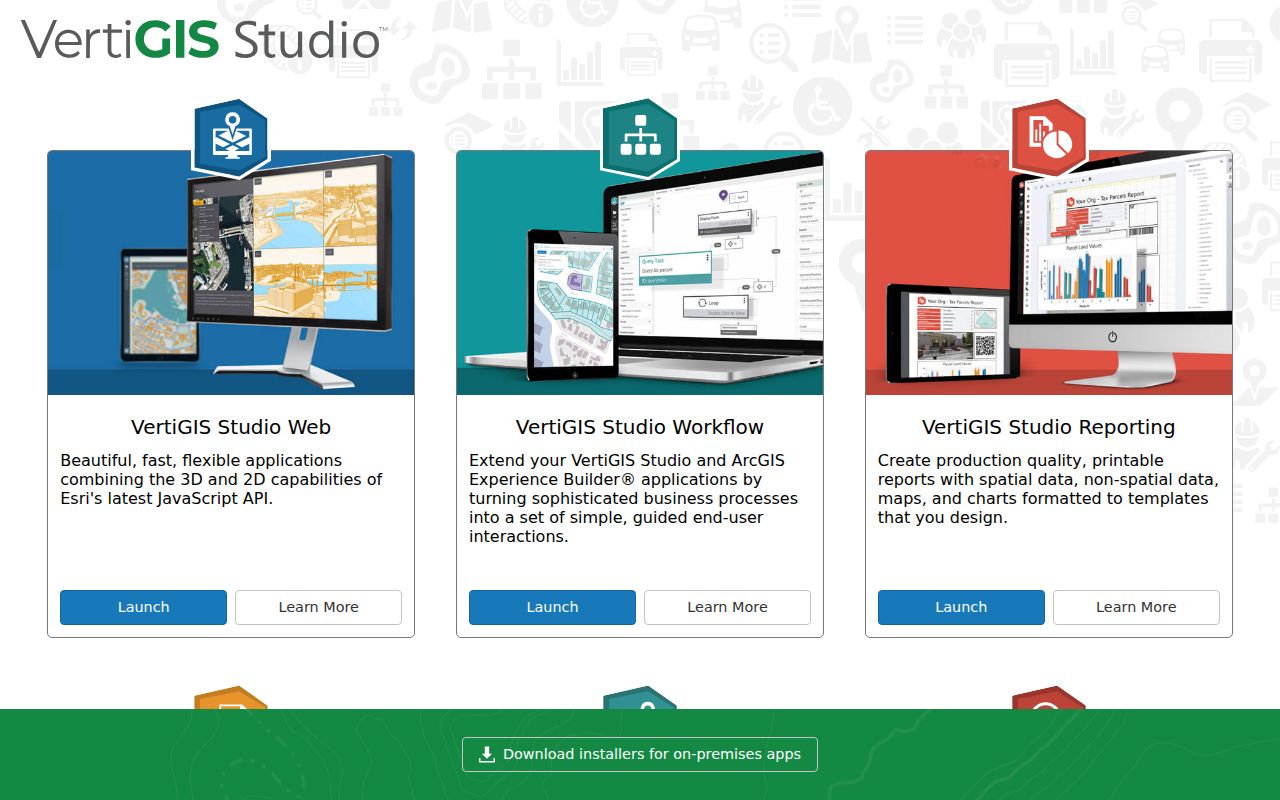
The viewer shows why a block question should begin with geometry and identifiers before names.
Bridgeport Neighbor Parcel Lookup
Find the target address in the MetroCOG viewer and select the Parcels layer. Use Identify on the target polygon, record ST_NUM, ST_NAME, LOCATION, Parcel_ID, GIS_ID, MBLU, and any owner-linked fields, then pan to the polygons that share a boundary. Adjacency is a geometric relationship, not a conclusion about who knows or lives beside whom.
The REST parcel layer is polygon geometry and supports query, geometry, distance, ordering, statistics, pagination, export, and KML operations. The exact buffer or select-neighbor control in the public viewer was not exposed in the unattended inspection, so use the map boundary or a documented geometry query rather than assuming a hidden radius tool. The service reports a maximum record count of 5,000.
The Bridgeport parcel layer gives the adjacent-parcel route and field model.
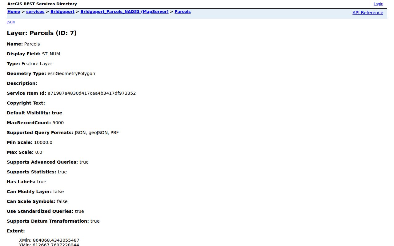
Use the parcel ID to carry each of the neighbors from the map to Vision, and use the Town Clerk only when recorded ownership history is needed.
Save Parcel IDs Before Bridgeport Neighbor Names
Names are easy to mix. Parcel IDs, GIS IDs, MBLU components, street numbers, and legal descriptions are better research keys. For every nearby lot, record the polygon location, ST_NUM, ST_NAME, Parcel_ID or GIS_ID, owner field, mailing city and ZIP, and source date. Then compare the Vision card with the GIS record. A mailing address may be outside the situs and may belong to a trust, business, estate, or representative.
Do not copy an owner field into a statement about a household. The assessor card is current Grand List evidence. A deed is a recorded instrument. A voter result is a named registration record. A permit name is attached to an administrative filing. Those distinctions matter when the block contains mixed parcel types, institutions, businesses, or larger tracts.
- Adjacent parcel
- A polygon that shares a boundary with the target parcel in the GIS layer.
- Owner mailing address
- The assessment-notice destination, which may not be the physical home.
- Situs
- The physical property location represented by the parcel or assessment card.
- Block lookup
- A map-and-source workflow around one address, not a guaranteed list of every person in a block.
Bridgeport Neighbor Block Map
Once the target parcel is fixed, work outward in a small ring. Use the polygon boundary to identify touching lots. Use the streetname layer to see address ranges and parity. Use Vision to read record-owner and mailing fields. Use the Town Clerk index if a deed, map, or transfer date is needed. Use the state's individual lookup only for a person already named in the research question.
The process can be written as a compact flow: address → target polygon → touching Parcel_IDs → Vision owner fields → Town Clerk instrument → named-source verification. Every arrow changes the record type. If the target street crosses a ZIP range or neighborhood plan, retain both labels rather than treating one as the legal boundary.
The Bridgeport GIS department page links the GIS Hub, static maps, story maps, and public data routes.
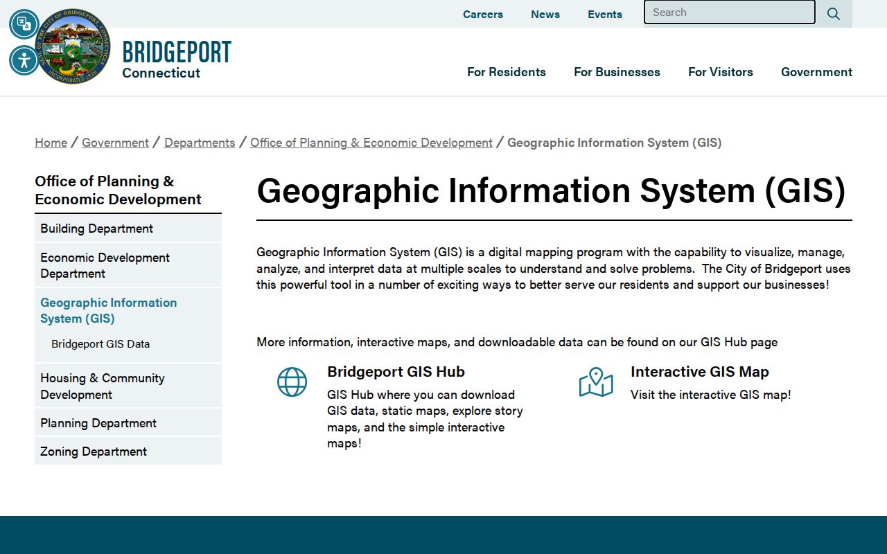
The GIS department is the right source for map layers and parcel context, while the Assessor and Town Clerk hold the distinct owner and instrument functions.
Bridgeport Street Ranges, ZIPL, and ZIPR
The Streetname layer supplies prefix, type, street name, postfix, address ranges, parity, and ZIPL or ZIPR fields. These attributes help define which side of a street segment a parcel belongs to and can keep a block query small. They do not replace USPS exact-address verification or establish a municipal boundary.
Compare the range with the target and adjacent parcel numbers, then check the USPS lookup for a particular address. Bridgeport ZIP labels, neighborhoods, NRZ plans, council districts, and city limits overlap imperfectly. A neighbor search should keep those layers in separate columns. If a street name has changed, search the current name, documented former name, legal parcel, and nearby intersections.
The USPS ZIP lookup is the final delivery check. The postal result does not expose owner or occupant data.
Community Plans Around Bridgeport Neighbors
Neighborhood plans add a civic layer to a block lookup. Bridgeport's NRZ material names Black Rock, East End, East Side, Hollow, Mill Hill, Reservoir, South End, and West Side/West End plans. Black Rock examples include Ash Creek Conservation Association, Black Rock Community Council, Black Rock Homeowners' Association, Black Rock Online, a Restaurant & Entertainment District, Little League, and Garden Club. The West Side/West End plan describes nearly 40 community-serving organizations.
These plans can identify a meeting route, institution, neighborhood boundary, development period, or organization address. They do not publish a universal member directory. Use the official plan or contact page to ask about a public meeting or organization, not to infer who belongs to a block.
| Black Rock NRZ | Plan and organization context, including the named civic groups and the post office at 2253 Fairfield Avenue. |
|---|---|
| East End and East Side | City plans and meeting routes; no public member roll located. |
| Hollow and Mill Hill | Plan documents with neighborhood context and contact routes. |
| Reservoir and South End | Public plan material; use the city route for current meeting information. |
| West Side/West End | Plan describes nearly 40 community-serving organizations, not a household list. |
The Bridgeport neighborhood groups page is the official route for plans and contacts.
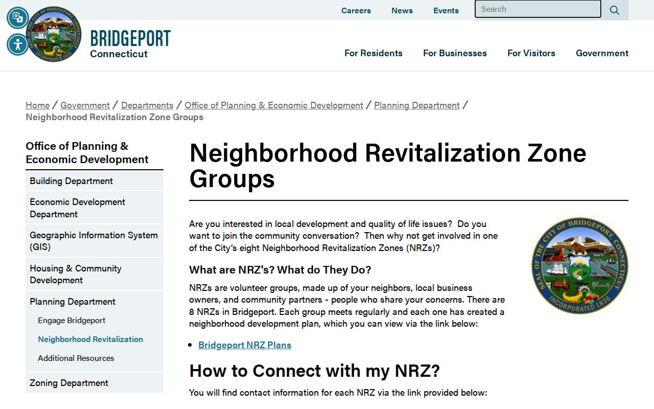
Community plans help explain the block's civic setting without turning an organization into a private roster.
The Bridgeport Public Library is another local route for history, maps, newspapers, directories, and neighborhood context.
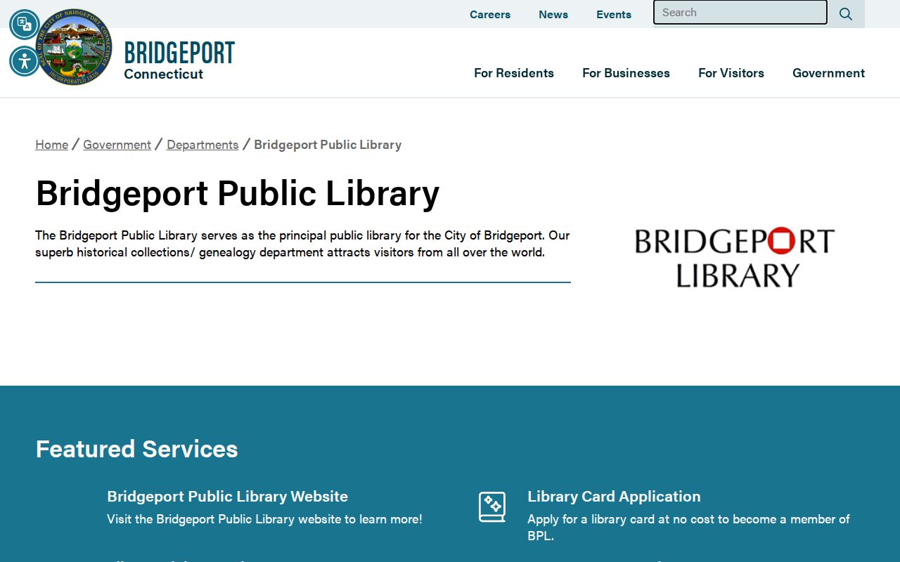
The library can point to a dated plan, directory, or archive, but it does not supply a current private membership list.
What the Bridgeport Voter Lookup Reveals
Connecticut's voter system is centralized, with Bridgeport and other town registrars maintaining local registration. The individual lookup can provide a named registration answer, polling place, district or precinct, party status, and limited address fields where public law permits. It is not a block-browse tool. The full statewide file is a separate written SOTS request with a listed $300 fee and public-field restrictions.
Month and day of birth are exempt from the public file, while birth year is the stated public field after PA 26-1 §96. Protected voters can suppress disclosure under the voter Privacy Program. A no-match can reflect privacy protection, a recent move, inactive status, nonregistration, spelling, or an update lag. Do not infer neighbors' occupancy from absence.
The Connecticut voter-roll guidance explains public fields and the state access route. The state's voter Privacy Program describes protected disclosure, while the 2026 voter-data Q&A gives current context for full-file questions.
Voter records answer a named registration question, not a request for every person living near an address.
Bridgeport Neighbor History Quirk
Bridgeport's public neighborhood material contains a useful count distinction. City and Engage pages describe eight NRZs, while the official document list also includes an Upper East Side Community Vision plan. The research does not establish that the plan is a ninth active NRZ. Treat it as a plan document whose current relationship needs city clarification.
This small discrepancy is a good reminder for neighbor research. Distinguish an active organization, a planning document, a council district, a neighborhood label, and a ZIP code. A plan can reveal a street, institution, or community history without giving permission to infer membership or private household details.
Privacy Limits on a Bridgeport Neighbor Lookup
Public parcel records do not list every renter, household member, visitor, utility customer, delivery recipient, or unregistered person. Safe at Home and the SOTS voter Privacy Program can suppress an actual address. DMV data is restricted under CGS §14-10 and the Driver's Privacy Protection Act. Court, vital, police, permit, and Probate records have their own redaction, sealing, and access rules.
Official sources and commercial neighbor tools also answer different questions. An official map can show geometry. Vision can show a record owner. The Town Clerk can show a recorded instrument. A commercial compilation may merge old addresses or names and cannot replace a certified deed, voter-custodian answer, court file, or current license result. Use the original source and date whenever a conclusion matters.
| Route | Useful for | Boundary |
|---|---|---|
| Official GIS | Parcels, touching polygons, IDs, ranges | Not a household list |
| Assessor | Record owner, situs, mailing fields | Not proof of occupant |
| Voter lookup | Named registration and polling answer | No public block browse; protected fields withheld |
| Community plan | Organizations, boundaries, meetings | No universal member roster |
Lawful use. Use a Bridgeport neighbor lookup for personal, lawful property, genealogy, civic, or community research. Do not use public information to stalk, harass, intimidate, or harm a person, and do not try to reconstruct a protected address.