
Sources for Bridgeport Previous Residents
The backward trail depends on the era. Modern land records offer a grantor and grantee sequence. Directories and census schedules show household or occupant clues. Maps show buildings and lots. Newspapers and probate can explain a sale, death, marriage, or estate. Building records add dated work or permit evidence. No one source spans the whole history, and Fairfield County is not a current county-records office in Connecticut.
| Source | Years for Bridgeport | Where held | What it shows |
|---|---|---|---|
| Town Clerk land-name index | Jan. 2, 1948-present | I2, PublicSearch, counter | Grantor, grantee, instrument, date |
| Town Clerk land images | June 1, 1983-present | I2 and counter | Deed or mortgage image and legal description |
| Town Clerk map index/images | Sept. 23, 1835-present | I2 and counter | Lots, subdivisions, streets, map context |
| Bridgeport city directories | 1855-1990 | History Center, microfilm, partial databases | Names, street listings, occupations, household clues |
| Federal census | 1790-1950 public under 72-year rule | Library databases, FamilySearch, NARA | Household, age, birthplace, occupation |
| Sanborn and local maps | 1867-1929 library years; LOC items | BHC, LOC, Yale, Historic Map Works | Footprint, use, lot and street setting |
| Building and Park City records | Jan. 1, 2021-forward portal | Park City; FOI for wider search | Permit, plan, inspection, applicant or agent |
The Bridgeport PublicSearch land route is a newer interface, but its historical reach was not stated during inspection. Use the verified I2 coverage for the older land trail and ask the Town Clerk about books or certified copies beyond the web cutoff.
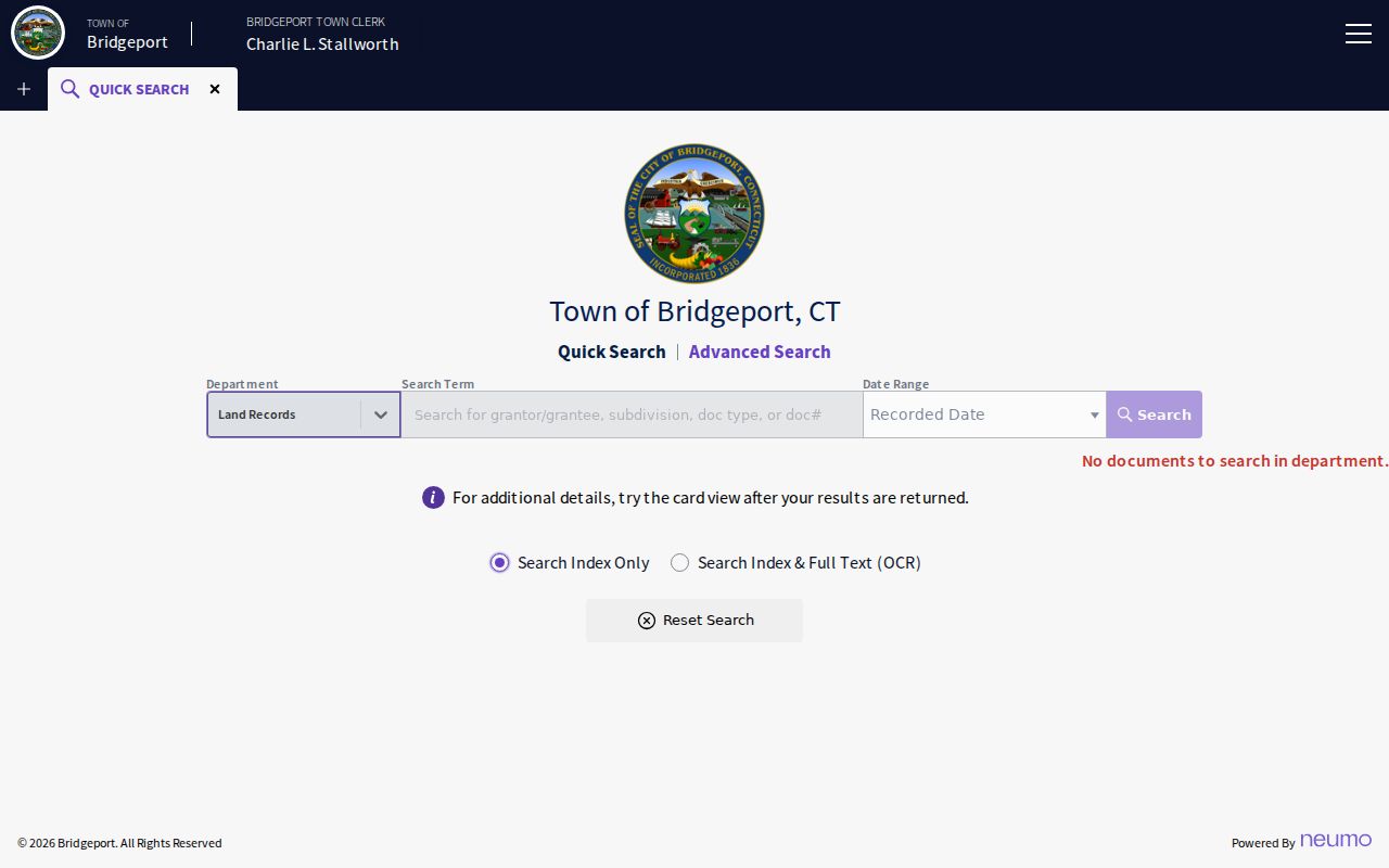
The newer search view can be a current entry point, while the year and coverage notes keep it from being mistaken for the full historical chain.
Bridgeport Previous Residents and Assessor Cards
Begin with the current parcel because it gives the backward search a stable reference. Search Vision by address, owner, account, MBLU, or PID. Save the owner name, situs, mailing address, Parcel_ID or GIS_ID, sale date and price when shown, assessment year, and any field-card link. The owner mailing address can be outside Bridgeport or belong to an entity, trust, estate, or representative, so it is a clue about the record owner rather than proof of occupancy.
Use the assessor card with GIS before opening a deed. GIS can confirm the parcel polygon, street number, MBLU, nearby lots, zoning, land use, building year, and other linked fields. If the address has several units or a changed number, the parcel ID and legal description are safer than the street string. A current card may lag a new recording, so verify the transfer date in the Town Clerk index.
The Bridgeport Town Clerk land-record page is the office route for the recorded deed trail after you establish the property context. It gives you the right next step for prior-owner research alongside maps and directory history.
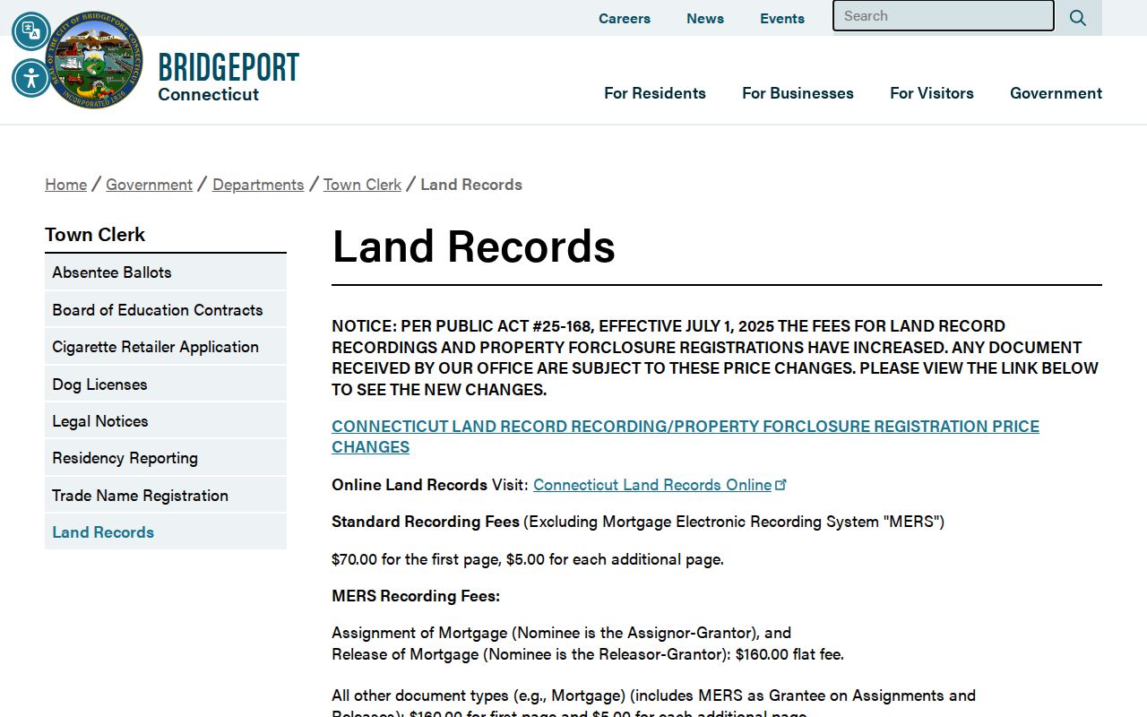
The municipal land-record route turns a current owner clue into a recorded-document question, which is the right next step for past owners.
Bridgeport Previous Residents: MBLU Clues
Addresses can drift while a legal parcel remains recognizable. Write down the Vision MBLU pieces, Parcel_ID, GIS_ID, account number, map or subdivision reference, and the deed book and page if available. The legal description may use lot and block, a subdivision map, or metes and bounds. Those details help distinguish two properties with the same street name and show whether a parcel was split, merged, or absorbed.
Bridgeport's GIS parcel layer supplies ST_NUM, ST_NAME, LOCATION, MBLU fields, owner-linked fields, sale information, building data, and map links. The streetname layer supplies address ranges and ZIPL or ZIPR. Use the map and parcel layers to test an old number, then search both the current and former street name where the research supports it. Do not invent a citywide renumbering year; none was located in the reviewed official material.
- Chain of title
- A sequence of recorded transfers tied to the legal parcel, not just a street number.
- Grantor
- The party shown as giving or transferring an interest in an instrument.
- Grantee
- The party shown as receiving an interest in an instrument.
- Legal description
- The lot, map, block, or boundary wording that identifies the land for the recorded instrument.
Bridgeport Past Resident Deed Chain
The Town Clerk's I2 index is the core recorded-land route for previous residents research. Search the current owner as a first party, then repeat with the seller or predecessor. Run both grantor and grantee roles when the direction is unclear. Use the document type, date, legal description, book, page, and document number to decide whether an item is a transfer, mortgage, release, lien, map, foreclosure, or probate-related filing.
- Copy the current assessor owner, parcel ID, MBLU, sale clue, and legal description.
- Search the Town Clerk name index around the current sale or recording period.
- Open the purchase deed or certified record and record seller, buyer, date, book/page, and parcel wording.
- Search the seller as an earlier grantee or grantor, testing spelling and entity names.
- Repeat until the online index ends, then use counter books, maps, archives, or a written request.
A mortgage or release can explain a gap without changing ownership. A subdivision map can explain a changed lot. Probate certificates can explain an estate transfer. Search the legal description each time instead of assuming a same-name party belongs to the same house.
The Bridgeport I2 recorded-land search provides name, document, book, date, and maps modes. Free search and paid images answer different questions.
Bridgeport Previous Resident Land Cutoffs
Two I2 dates matter. The recorded-land name index starts January 2, 1948, while land images start June 1, 1983. Maps reach September 23, 1835. The dates describe digitized or indexed access, not the beginning of Bridgeport land recording. Older names and instruments may be in municipal books, map books, certified copies, the History Center, Connecticut State Library, or archival collections.
The current Town Clerk schedule lists free index searching, watermarked viewing, $2 per page for portal printing or downloading, $1 per copy page, $2 for certification, and $20 for maps. Standard recording fees are listed as $70 for the first page and $5 for each additional page, with separate MERS and subdivision-map charges. Confirm current fees before ordering because the July 1, 2025 Public Act changed Connecticut land-record fees.
Access comparison. A free index search locates a record. A paid image shows more. A certified Town Clerk copy carries a different official purpose. An archive consultation may be the only route for an older clue.
Read Bridgeport Street Listings From 1895 Forward
The History Center city directory collection is the household layer of a house history. Bridgeport directories run approximately 1855-1990, and from 1895 onward they generally include alphabetical and street listings. Read the street section at the target number, then use the alphabetical pages to compare initials, occupations, spouses, widow forms, telephone numbers, and business entries.
If a name disappears, check the neighboring years, adjacent numbers, a business or boarding entry, and alternate street spelling. “Bds,” “h,” “emp,” “do,” and “wid” can change the reading of a line, but each volume has its own conventions. A directory entry is a dated historical clue. It may describe a caller, boarder, spouse, or person carried forward from a prior compilation.
The History Center map archive pairs naturally with the street section when a number or footprint is hard to reconcile.
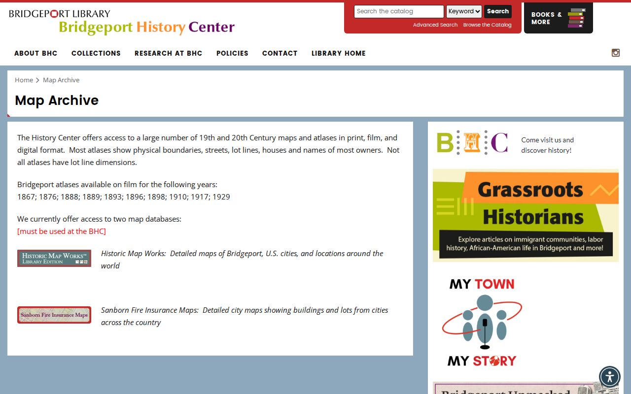
Maps can show the lot and street setting that make an old directory entry easier to compare with the present parcel.
Bridgeport Directory Years and Census
A census gives a household snapshot at an enumeration date. A city directory gives a publisher's snapshot tied to a volume year. They do not line up perfectly, but together they can test whether a household head, spouse, boarder, or occupation changed. The 1900, 1910, 1920, 1930, 1940, and 1950 federal schedules are public under the release rule described in the research.
- Capture the directory year, street number, printed name, occupation, and page.
- Compare the nearest census address, household, age, birthplace, and occupation.
- Read one directory year backward and forward for a move, spouse, widow, or business change.
- Use an obituary, marriage notice, vital record, probate index, map, or deed to confirm a major transition.
The Fairfield Museum research library is a regional fallback when a family or property clue crosses town lines. Its resources include genealogies, manuscripts, property information, a FamilySearch affiliate route, and historical collections, but not a current Bridgeport household list.

Regional research can fill a historical gap, provided the collection, person, address, and source year are all recorded.
Bridgeport Resident House History Maps
Sanborn and local atlas sheets can show when a building existed, how its footprint changed, what use was recorded, and which lots or streets touched it. The History Center lists film years 1867, 1876, 1888, 1889, 1893, 1896, 1898, 1910, 1917, and 1929. The Library of Congress has Bridgeport items from 1884, 1898, 1904, and 1913, and Yale guides list further Bridgeport years.
Use a map sheet as structure evidence, then pair its lot, street, and owner context with a directory, deed, newspaper, or census. A map does not identify every person in a building. It can, however, explain a missing address, a changed footprint, a former industrial use, or a street relationship that helps locate a past household.
The 1884 Bridgeport Sanborn item and 1898 Bridgeport Sanborn item are public map routes; use the Library of Congress guide for sheet searching.
Bridgeport Past Resident Household Records
Previous residents research is a process of matching dates, not collecting names. Start with the current parcel, walk the deed chain, and then read the street listing for the years the chain suggests. Use census schedules to see household structure, newspapers to explain a move or death, probate to identify an estate or heir, and vital records for an eligible certificate. Each source should remain labeled with its own date and custodian.
Bridgeport's official address history includes the 2015 Ann Street to Bass Pro Drive naming change in Steel Point and the 2018 honorary name Val Esteves Way for Calhoun Street. Those examples show why current and former names belong in a search note. They do not establish a comprehensive citywide renumbering schedule. If the address still does not fit, test adjacent numbers, legal lot or MBLU, nearby owners, and a map sheet.
The Bridgeport city directory page explains the collection itself, while this previous residents trail keeps the focus on one address moving backward through time. When online records stop, the Town Clerk counter, History Center, courthouse terminal, State Library, archive, or a narrowly written request is the next channel.
House-history boundary. Use past resident records for lawful personal research, genealogy, property history, and estate work. Do not use a Bridgeport address trail to stalk, harass, intimidate, or harm any person.